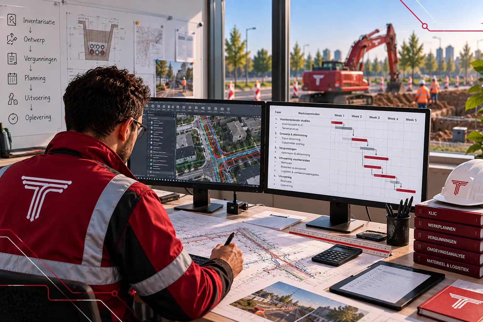
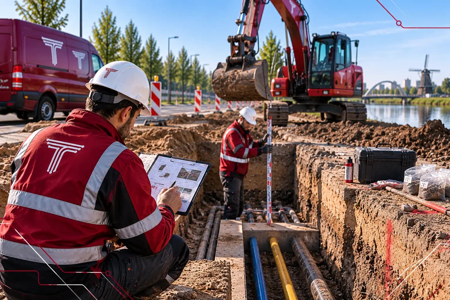
KLIC notification, conditions scan and permit applications, submitted and monitored. We liaise with municipalities, water authorities, grid operators and landowners so the work can start on time.
Each component can be ordered separately. Together they form one drawing that you see grow in the client portal.
D.04 · Work preparation · 1:10004 / 4
>Command:X 155 212 · Y 463 118 · RD
04.1
KLIC notification
We file an orientation request or excavation notification for the work area and read out the delivery straight away: all cables and pipelines per grid operator and per theme, including required precautions.
ResultKLIC delivery on the map, per theme
04.2
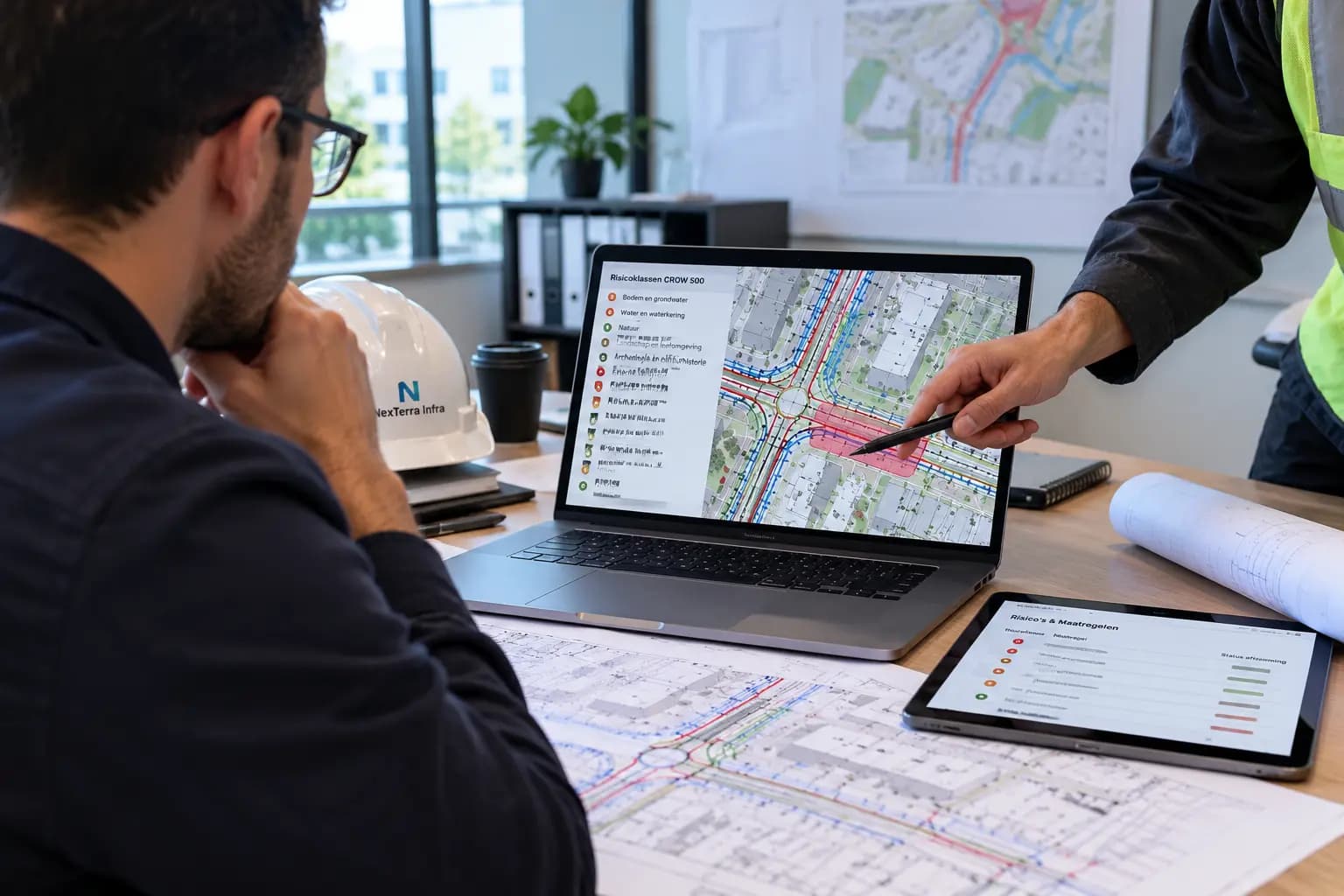
Conditions scan
The route is checked for soil and groundwater, nature, archaeology, unexploded ordnance, external safety and land ownership. For each topic, an outcome and where needed a next step.
ResultConditions report with an outcome per topic
04.3
Permit applications
We prepare the applications and submit them to the competent authorities: the consent decision from the municipality, the water permit from the water authority and permits for crossings with railways and national roads. We then monitor deadlines and questions.
ResultSubmitted applications and an up-to-date permit overview
04.4
Stakeholder management
We liaise with grid operators, municipalities, landowners and residents. Agreements and commitments are recorded, so construction does not stall on an unexpected objection.
ResultStakeholder overview with agreements and status
Input and output
What you provide and what you get back.
01
What we need from you
Don’t have everything yet? A proposed route or a question is enough to start.
01The route or work area
02Client and grid operator
03Planned construction period
04Known agreements with the municipality or landowners
D.04
02
What you receive
Everything is stored in your project file in the client portal, also after handover.
PDFKLIC_delivery_processed.pdfCables and pipelines per operator and theme
PDFConditions_report.pdfOutcome and next step per topic
ZIPPermit_applications.zipApplications with site drawings per authority
PDFPermit_overview.pdfStatus, deadlines and conditions
Permits that don’t hold up the design.
Applications run in parallel with the detailed design. As soon as the route is fixed, the site drawings are ready and you know what conditions the authorities set.
What is the difference between an orientation request and an excavation notification?
An orientation request is made in the design phase to see what lies underground. An excavation notification is mandatory before mechanical digging and is valid for a limited time. We file both at the right moment.
02
Which permits does a cable route need?
That depends on the location. Usually a consent decision from the municipality, and for crossings with watercourses, railways or national roads a permit from the asset owner. The conditions scan shows which applications are needed.
03
Can you take over an ongoing application?
Yes. We take over the current status, identify missing documents and monitor the application through to the decision.