01.3.1
Dimensioning
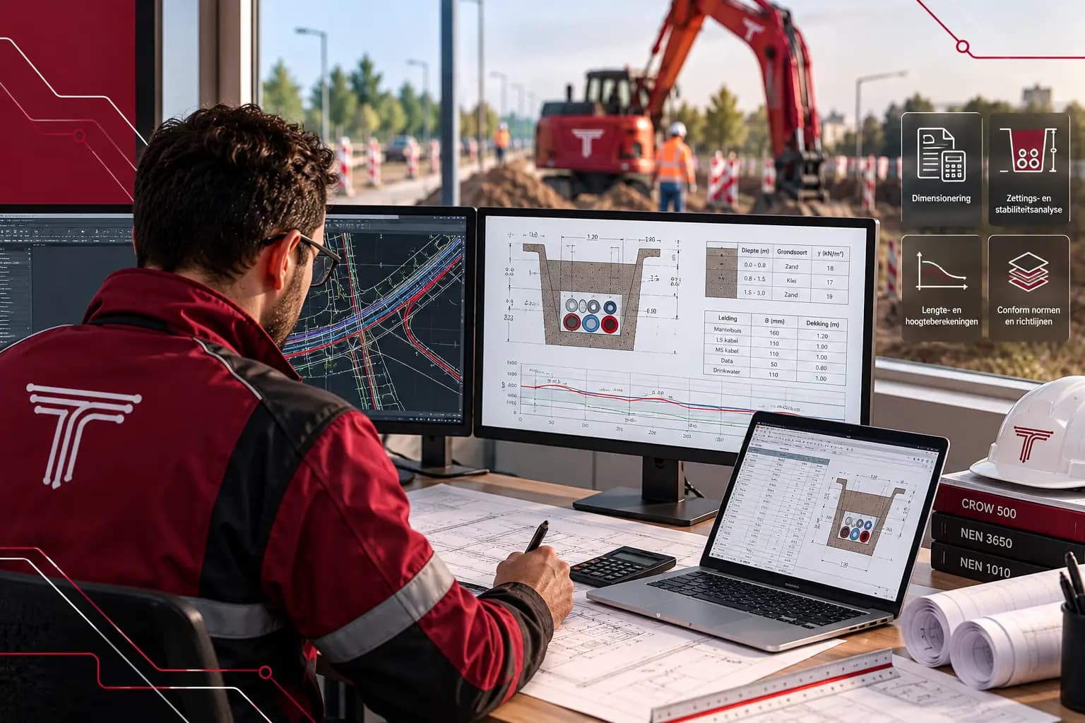
We determine trench width and depth, pipe diameters, spacing and cover per cable and pipeline, based on the grid operator’s requirements and the space in the profile.
ResultDimensioned trench profile per route section
Engineering · D.01.3
Dimensioning, settlement and stability, longitudinal and height profiles, and verification against the standards. We substantiate the design with calculations that the grid operator and the authorities can follow.
D.01.3Calculations
Each component can be ordered separately. Together they form one drawing that you see grow in the client portal.
We determine trench width and depth, pipe diameters, spacing and cover per cable and pipeline, based on the grid operator’s requirements and the space in the profile.
ResultDimensioned trench profile per route section
Based on the soil build-up, we check the stability of trench walls and slopes and the settlement of pipelines, taking account of groundwater and traffic loads.
ResultCalculation report on settlement and stability
We calculate longitudinal profiles in NAP: ground level, top of pipe and cover along the entire route. Conflicts with existing cables and pipelines become visible before any digging.
ResultLongitudinal profile with heights and cover in NAP
Every calculation is checked against the applicable standards and guidelines, such as NEN 3650, NEN 3651 and CROW 500. Assumptions, input and results are recorded in a calculation report.
ResultCalculation report with assumptions and verification
Don’t have everything yet? A proposed route or a question is enough to start.
Everything is stored in your project file in the client portal, also after handover.
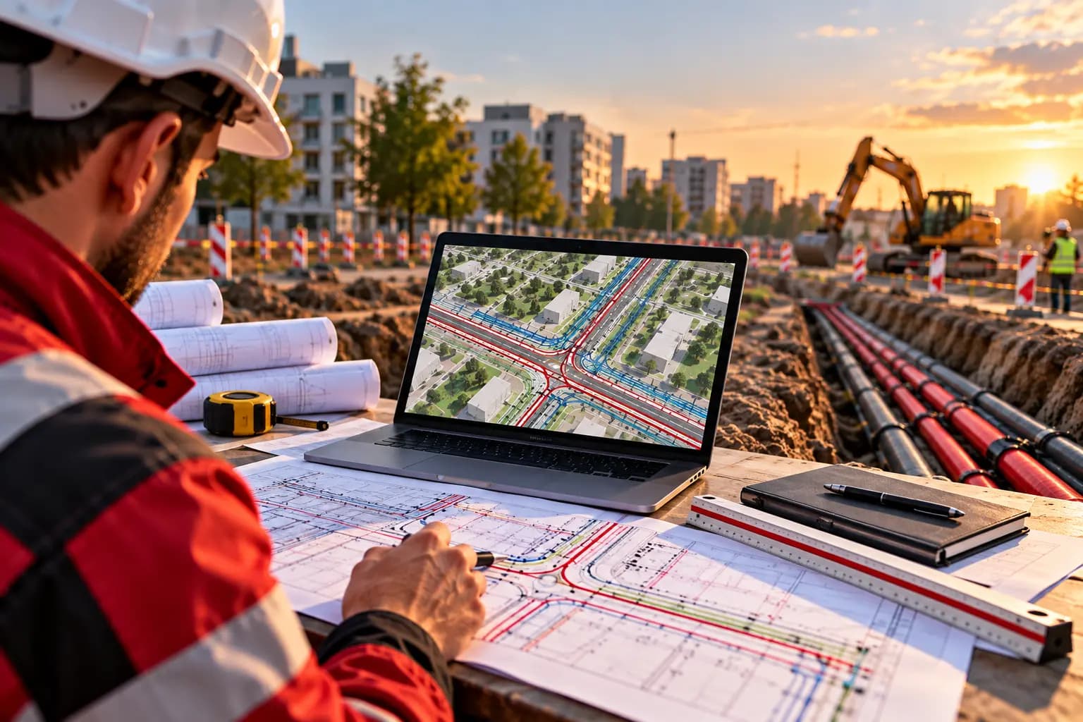
A calculation shows in advance whether a profile fits, a slope stays in place and a pipe stays at depth. Design decisions are based on numbers.
For crossings with flood defences, railways and national roads, the asset owner almost always asks for substantiation. Tight profiles, deep trenches or soft soil also call for a calculation.
CPTs or borehole logs give the best picture. If they are not available, we use public soil data and state the assumptions in the calculation report.
Yes. Like drawings, calculations are reviewed by a second engineer before they are sent to you.
Next in the project
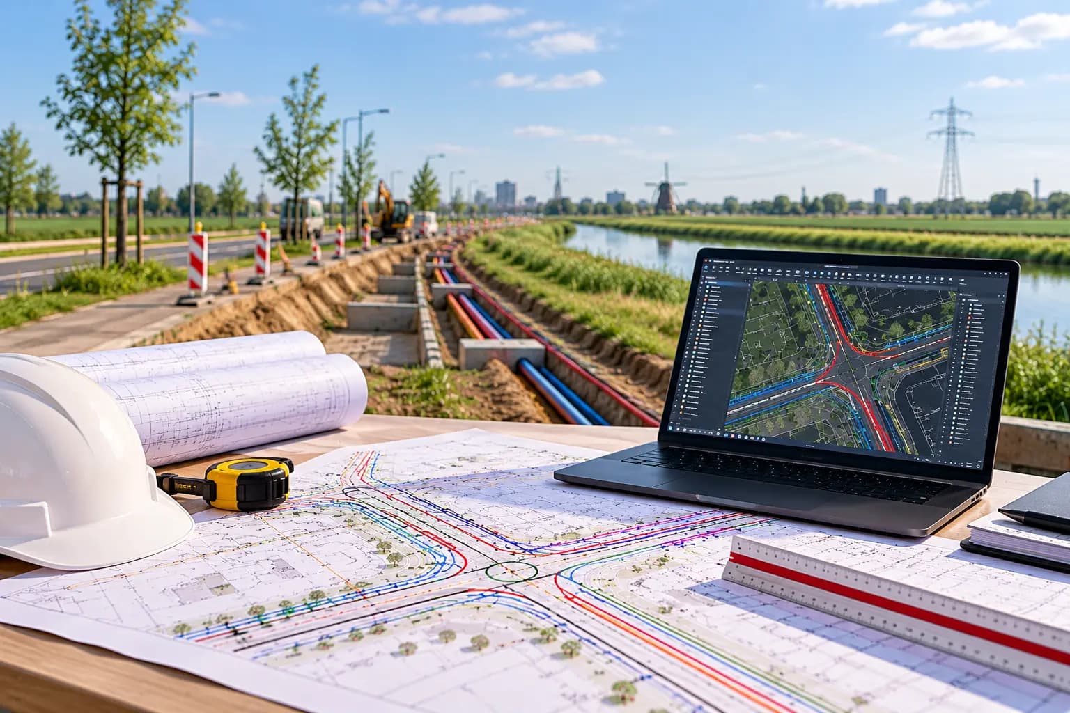 D.01.1Route engineeringWe define the route, develop it through VO, DO and UO, and record crossings and interfaces before anyone starts digging.View service
 D.01.2Trenchless techniquesWhere open excavation is not possible or not allowed, we design a trenchless crossing: from choice of technique and bore profile to permit drawing and as-drilled.View service
 D.04Work preparation and permitsWe check the route for soil, nature, archaeology, unexploded ordnance and ownership, apply for the required permits and keep all parties aligned until construction.View service