02.1
RTK-GNSS survey
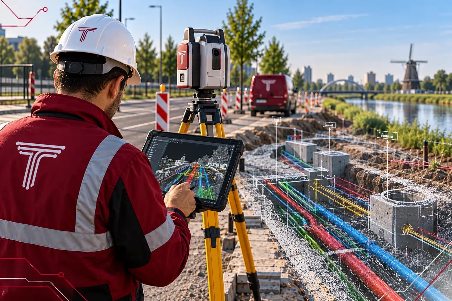
We survey points, lines and objects with RTK-GNSS to within a few centimetres. Where satellite reception is limited, we switch to a total station.
ResultSurvey file in RD coordinates and NAP height
Services · D.02
Surveys with RTK-GNSS, total station and laser scanner. We record the position and height of cables, pipelines and objects in RD and NAP, as a point cloud or as a vector file for your own CAD and GIS.
D.02Digital surveying
Each component can be ordered separately. Together they form one drawing that you see grow in the client portal.
We survey points, lines and objects with RTK-GNSS to within a few centimetres. Where satellite reception is limited, we switch to a total station.
ResultSurvey file in RD coordinates and NAP height
An open trench, crossing or structure is captured in one go with a laser scanner. The point cloud shows position, depth and surroundings in 3D, even after the trench has been closed.
ResultRegistered point cloud of the location
From the measurements we draw cables, pipelines, manholes and ground level as lines and objects. You receive a file that fits straight into your own CAD or GIS environment.
ResultVector file to NLCS or your own standard
After construction we survey the realised position and process it into as-built drawings for the grid operator. Deviations from the design are made visible.
ResultAs-built drawing and survey file for the grid operator
Don’t have everything yet? A proposed route or a question is enough to start.
Everything is stored in your project file in the client portal, also after handover.

A good survey is worth more than the day it was made. At the next intervention you know exactly what lies where.
With RTK-GNSS we measure to within a few centimetres, in RD coordinates and NAP height. A total station or laser scanner can be more accurate, depending on the situation.
In complex situations with many cables and pipelines, at crossings and structures, and when a trench is only open for a short time. The scan captures everything at once.
Points as CSV, point clouds as LAS and drawn data as DXF or DWG. We agree on your own format or drawing standard in advance.
Next in the project
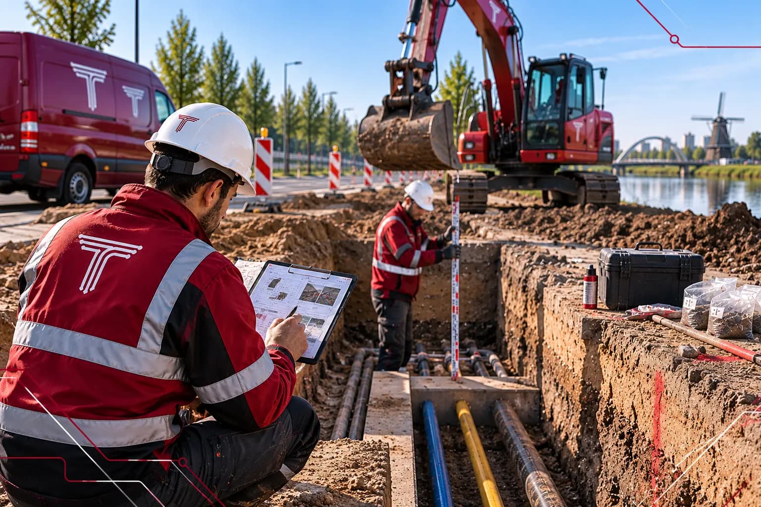 D.03Trial trenchesWhere the KLIC delivery leaves doubt, we dig a trial trench. What we find is surveyed and processed straight into the design.View service
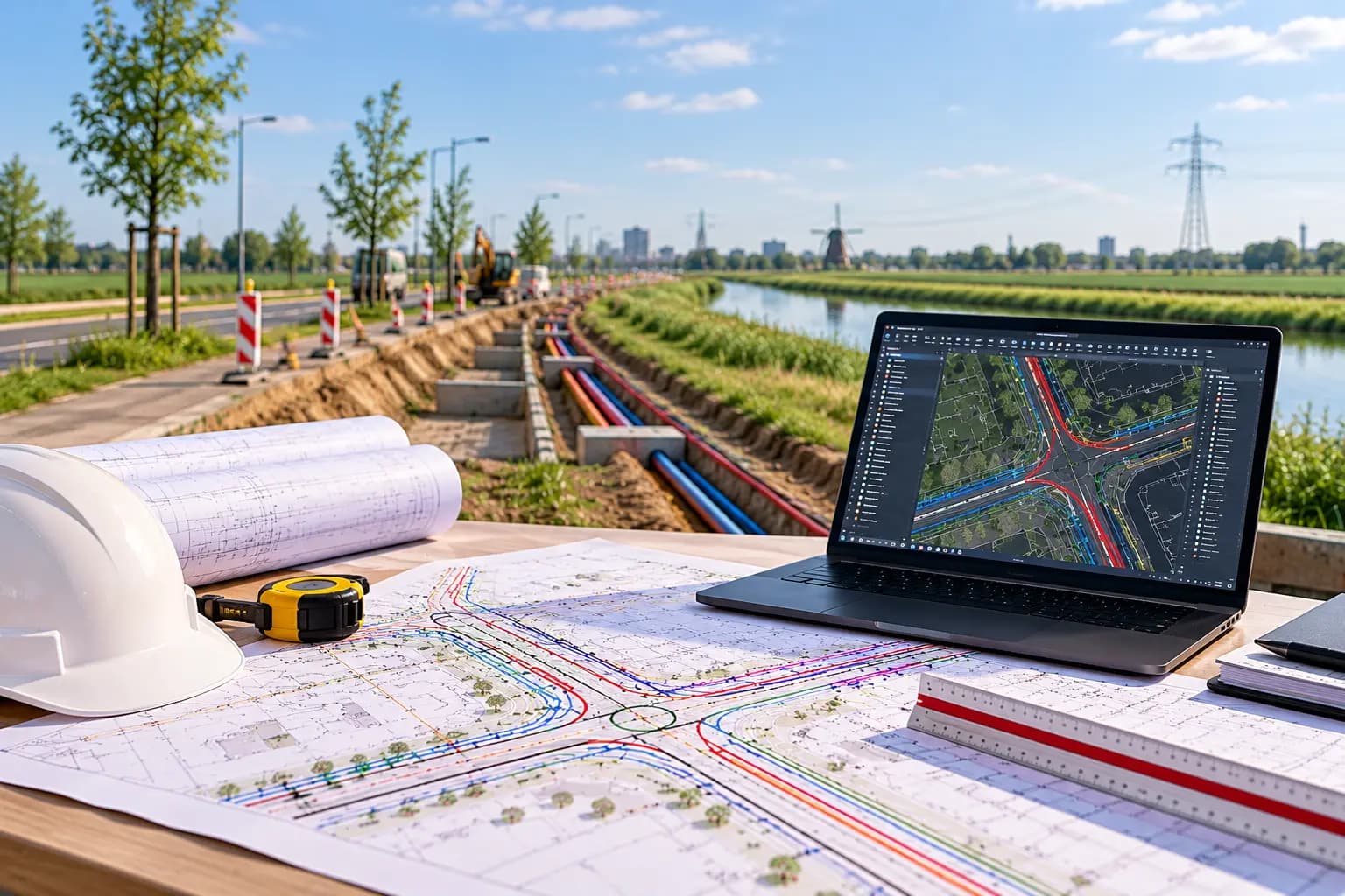 D.01.1Route engineeringWe define the route, develop it through VO, DO and UO, and record crossings and interfaces before anyone starts digging.View service
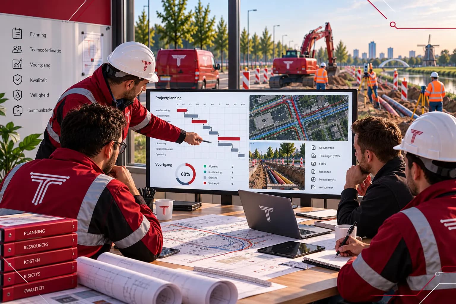 D.05Project managementWe coordinate the entire project: from planning and alignment to progress reporting and handover, with one file where everything comes together.View service